The experiment record and conclusion on the sensor of
"SparkFun Infrared Proximity Breakout - VCNL4000"
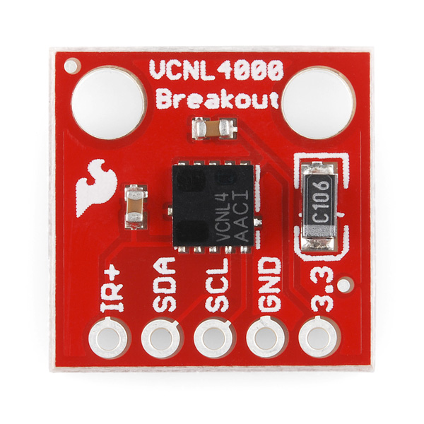
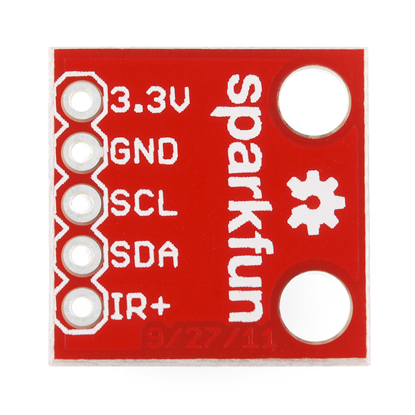
The sensor we ordered from professor is named Infrared Proximity Breakout and its model name is VCNL4000. The pictures of it are listed below.
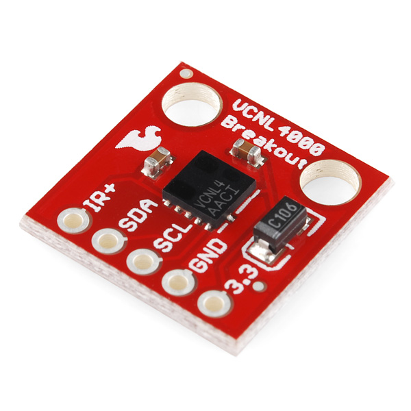
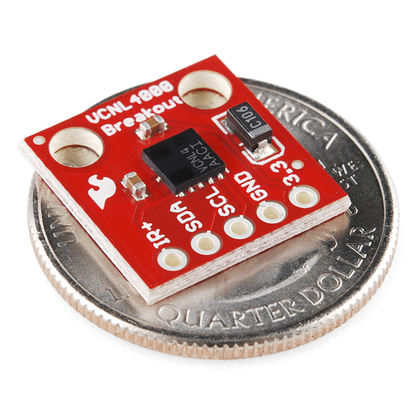
The VCNL4000 can detect its proximity to an object using IR within a range of about 20cm. Proximity data as well as ambient light level data can be collected over an I2C interface. This breakout board gives you access to the I2C pins, the Vcc pin, GND and the IR+ pin (power supply for the built-in IR emitter). Simply give the board a clean 3.3V power source and give the IR emitter anywhere from 2.5-5V and you’ll be able to tell how far you are from an object up to 20cm.
First of all, because there is no pins on the sensor to make it fixed on the circuit board, we have to solder a 4-pin component on the sensor. But unfortunately we solder the pins on the wrong side, that's to say after we fix the sensor on the circuit board, the core sensing module is facing down to against the board. We found this problem because the output values stay to be around a stable range no matter how close we put our hands above the sensor.
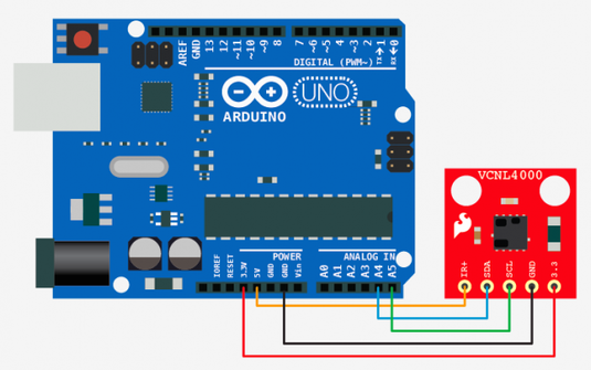
Anyway, we build up the sensor circuit and completed tests on the sensor functions. The sketch map and programming codes are shown as below.
First of all, because there is no pins on the sensor to make it fixed on the circuit board, we have to solder a 4-pin component on the sensor. But unfortunately we solder the pins on the wrong side, that's to say after we fix the sensor on the circuit board, the core sensing module is facing down to against the board. We found this problem because the output values stay to be around a stable range no matter how close we put our hands above the sensor.
Anyway, we build up the sensor circuit and completed tests on the sensor functions. The sketch map and programming codes are shown as below.
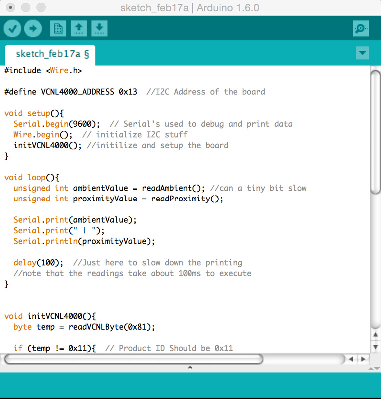
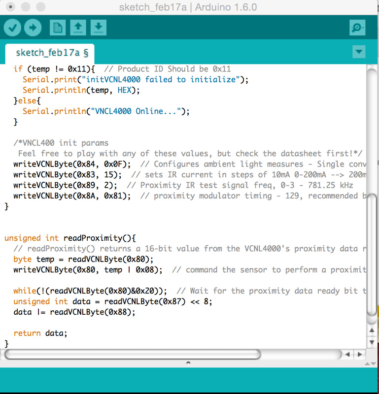
The functions allow the sensor output two types of data. Firstly, it is able to figure out the brightness value around the core sensing module. Secondly, it is able to figure out the distance between an object and the core sensing module, for example, if I put my hand above the core sensing module, it will output the distance between my hand and itself. And the computing process is done by detecting the brightness change around the sensing module.
"Presenting News through Creative Ways"
---some thoughts on AI Shaw's presentation
We had a fantastic presentation shared by AI Shaw, a news applications developer at ProPublica. Previously he was Designer/Developer at Talking Points Memo and creator of TPM's PollTracker application.
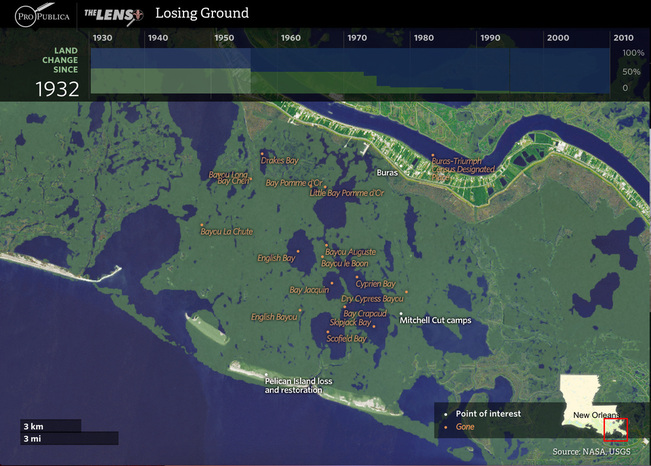
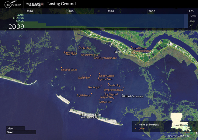
Today he showed us about his achievements on discovering those losing ground in Louisana, some parts of the land turned to be open water as time went by. Shaw and his team took advantage of aerial imagery, spectral analytics, and especially the "Balloon Mapping" has helped them to get high quality aerial image. Through exploring by the multimedia online tools developed by AI Shaw, it is so clear for us to find that a large part of the land has been lost with in 80 years and the ground is still keeping losing. The pictures above showed the difference between 1932 and 2010 in the same area.
Today he showed us about his achievements on discovering those losing ground in Louisana, some parts of the land turned to be open water as time went by. Shaw and his team took advantage of aerial imagery, spectral analytics, and especially the "Balloon Mapping" has helped them to get high quality aerial image. Through exploring by the multimedia online tools developed by AI Shaw, it is so clear for us to find that a large part of the land has been lost with in 80 years and the ground is still keeping losing. The pictures above showed the difference between 1932 and 2010 in the same area.
I'm really shocked by what has done by AI Shaw and his team, it is a great topic which needs people's concentration, and his creative & interactive ways to present news are also great, it collected useful data and visualized clear images for users. There is a process for users to explore the news, it is also a crucial process for people to get impressed by the news itself. This could be a perfect reference or example for the news presenting in the future.
Especially when I'm planning to monitoring some conditions for the same area, the multimedia tools like Shaw developed could be no better to utilize. One of my future plan is to draw a "Pace Speed Map" for NYC. Through comparing people's average pace speed in different areas, I expect to figure out those factors may do impact on people's pace speed. Make the outputs connected with culture, urban environment, weather and so on, it is going to be creative and meaningful.
Especially when I'm planning to monitoring some conditions for the same area, the multimedia tools like Shaw developed could be no better to utilize. One of my future plan is to draw a "Pace Speed Map" for NYC. Through comparing people's average pace speed in different areas, I expect to figure out those factors may do impact on people's pace speed. Make the outputs connected with culture, urban environment, weather and so on, it is going to be creative and meaningful.
